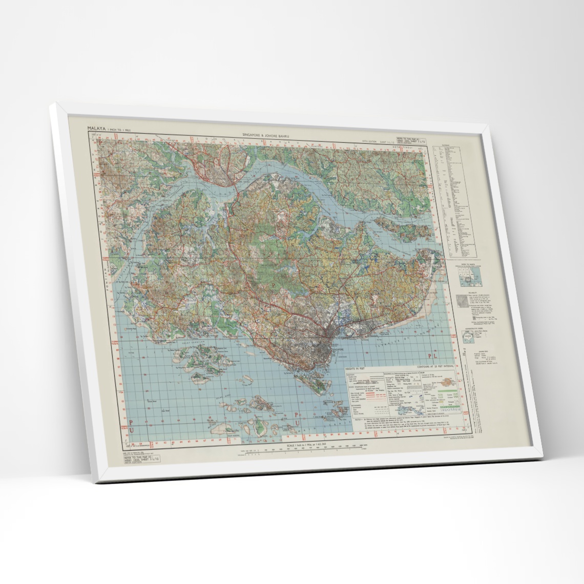
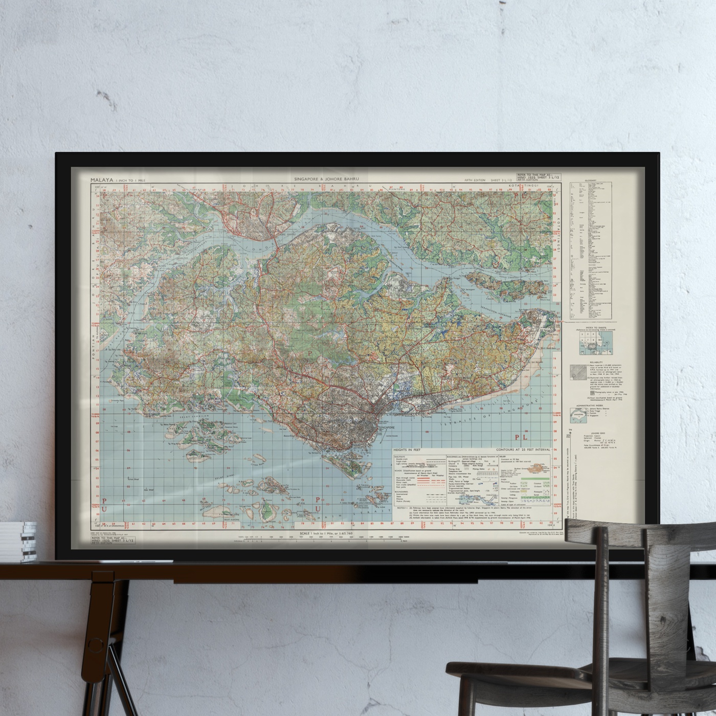
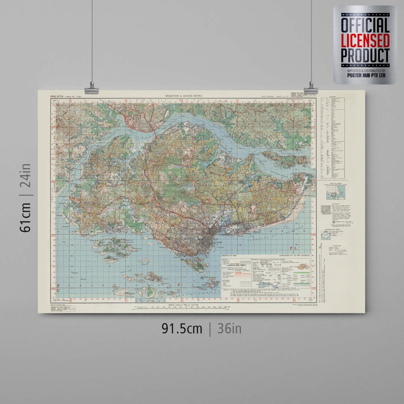
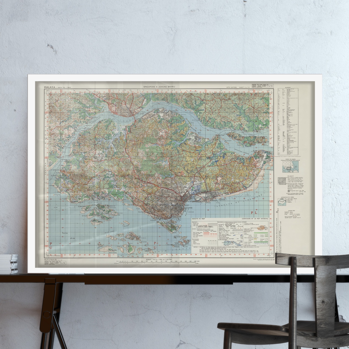
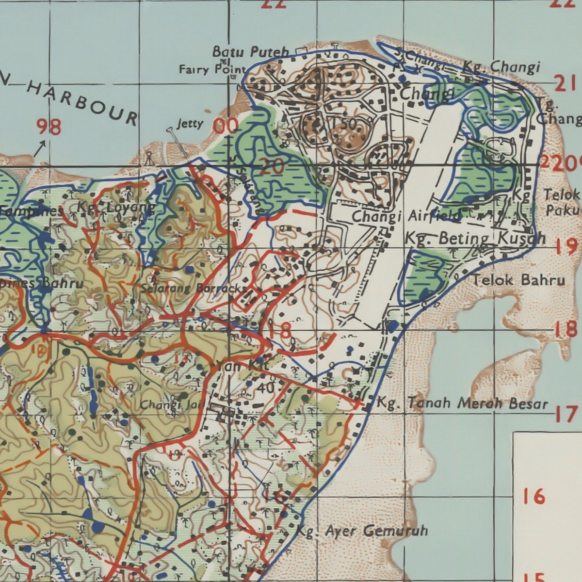
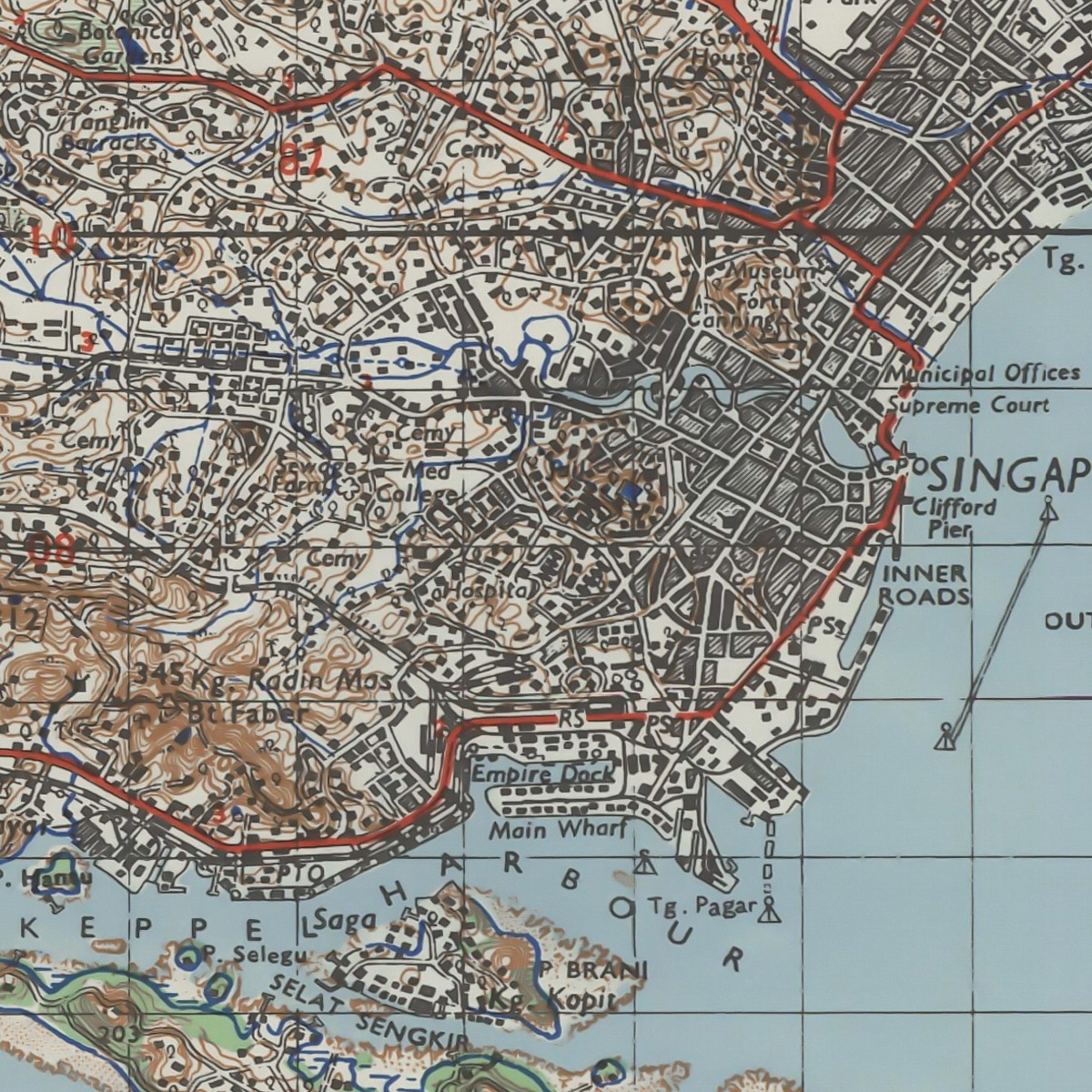
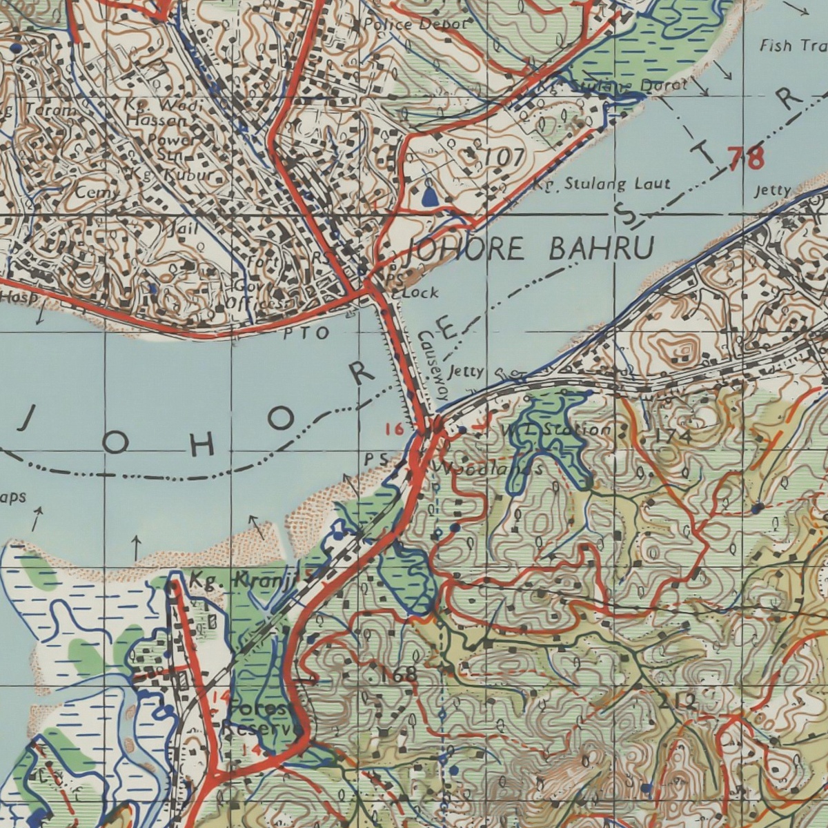
This map from 1947 was created by the Great Britain Army, 1st Indian Field Survey Company.
Digitally scanned and restored, the Map showing Malaysia-Singapore international boundary, contours, physical landscape, road system, railway, major districts, villages, housing estates, hospitals, resettlement areas, cemeteries, quarries, nature reserves, catchments areas, Keppel Harbour, Strait of Singapore, the Causeway, and others.
Digitally scanned and restored, the Map showing Malaysia-Singapore international boundary, contours, physical landscape, road system, railway, major districts, villages, housing estates, hospitals, resettlement areas, cemeteries, quarries, nature reserves, catchments areas, Keppel Harbour, Strait of Singapore, the Causeway, and others.
- Version : Singapore Map
- Type : Single-sided
- Size : 61 X 91.5 cm
- Not to scale.


